Land identification and GPS mapping
We evaluate and select suitable land by studying terrain, accessibility, and nearby infrastructure. Using precise GPS mapping, we mark boundaries, capture accurate coordinates, and create detailed layouts essential for engineering and project planning.

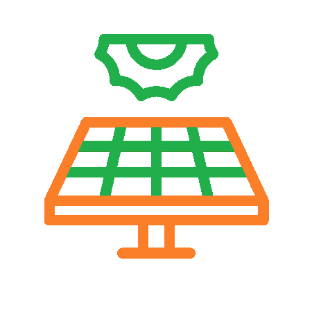
Shadow analysis and solar irradiation study
We analyse the site for potential shading from trees, buildings, or surrounding structures to ensure uninterrupted sunlight. Detailed solar irradiation data is collected to understand sunlight intensity throughout the year, helping to maximise the energy generation.


Soil testing and loading ERT
We conduct soil tests to determine its strength, composition and ability to support solar mounting structures. These assessments ensure the ground can safely bear the weight of the solar plant and guide the selection of suitable foundations.
Preliminary solar plant capacity assessment
We estimate the optimal plant capacity based on land area, sunlight availability, and client energy requirements. This initial assessment helps determine potential energy output and ensures a cost-effective and efficient project plan.